
Adaptation to Natural Hazards and Climate Change in North Kingstown, Rhode Island
 The purpose of “Adaptation to Natural Hazards and Climate Change in North
Kingstown, Rhode Island” is to demonstrate the process and techniques for how to
utilize spatial information and relevant exposure and vulnerability data addressing
natural hazards, including coastal hazards such as flooding from projected sea level
rise and storm surge events, in local planning to prepare implementable adaptation
strategies. These strategies can then be used as a foundation for addressing
adaptation in North Kingstown’s comprehensive community plan, and to prioritize
projects for inclusion in the municipal Capital Improvement Program (CIP), state
Transportation Improvement Program (TIP). This pilot project in North Kingstown is
intended to serve as a model for other municipalities in Rhode Island to address
resilience to natural hazards in their local planning efforts.
Full Report: Adaptation to Natural Hazards and Climate Change in North Kingstown, Rhode Island
Appendix A consolidates Coastal Rhode Island digital elevation data to identify North Kingstown assets that are vulnerable to sea level rise scenarios.
Creating Sea Level Rise Maps for North Kingstown
Appendix B includes property tables showing the different categories of North Kingstown properties and individual parcels that intersect projected sea level rise scenarios and the 1938 Hurricane water levels.
Links for the North Kingstown Sea Level Rise maps and SLAMM Maps Online
Appendix C provides a prioritization matrix for the 12 study areas in North Kingstown, as well as tables summarizing the total property values and road segments that intersect projected sea level rise scenarios and the 1938 Hurricane water levels.
Process Overview: Neighborhood-Scale Parcel Maps
Appendix D contains the maps for each of the 12 study areas, showing the sea level scenarios, and impacted parcels and roads contained within each scenario.
- Appendix D-Map Key
- Study Area 1 Pojac Point/Mount View
- Study Area 2 Quonset/Davisville
- Study Area 3 Mill Cove/ Shore Acres
- Study Area 4 Intrepid Drive
- Study Area 5 Wickford Historic
- Study Area 6 Wickford Commercial
- Study Area 7 Phillips/Loop
- Study Area 8 Poplar Point
- Study Area 9 Duck Cove/Earle Drive
- Study Area 10 Hamilton/ Bissell Cove
- Study Area 11 Plum Point/ Plum Beach
- Study Area 12 Gilbert Stuart/ Walmsley Lane
Appendix E delineates North Kingstown parcels that are exposed to storm surge and projected sea level rise and provides the MAP_LOT that the parcel is associated with. Comprehensive Parcel List within Projected Sea Level Rise Areas
Resilient Communities: Natural Hazards & Climate Change Adaptation
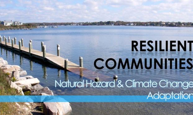 A how-to guide on incorporating natural hazards planning and climate change adaptation into local comprehensive plans.
View Guide
Contacts
Teresa A. Crean, AICP
Coastal Community Planner, Coastal Resources Center / RI Sea Grant
Graduate School of Oceanography, The University of Rhode Island
Office: (401) 874-6626 Work Mobile: (401) 256-2341 Web: www.crc.uri.edu
Email: tcrean@uri.edu